
Mount Leconte

As a native flatlander from the Great Lakes region who loves to hike, and who relocated to east Tennessee largely to be closer to the Appalachain Mountains, my cup has runeth over.
There is one hike in east Tennessee that seems to get more attention than all the rest. No, it's not the Appalachain Trail, it's Mount Leconte (6,593’), the 3rd tallest peak in the Smokies.
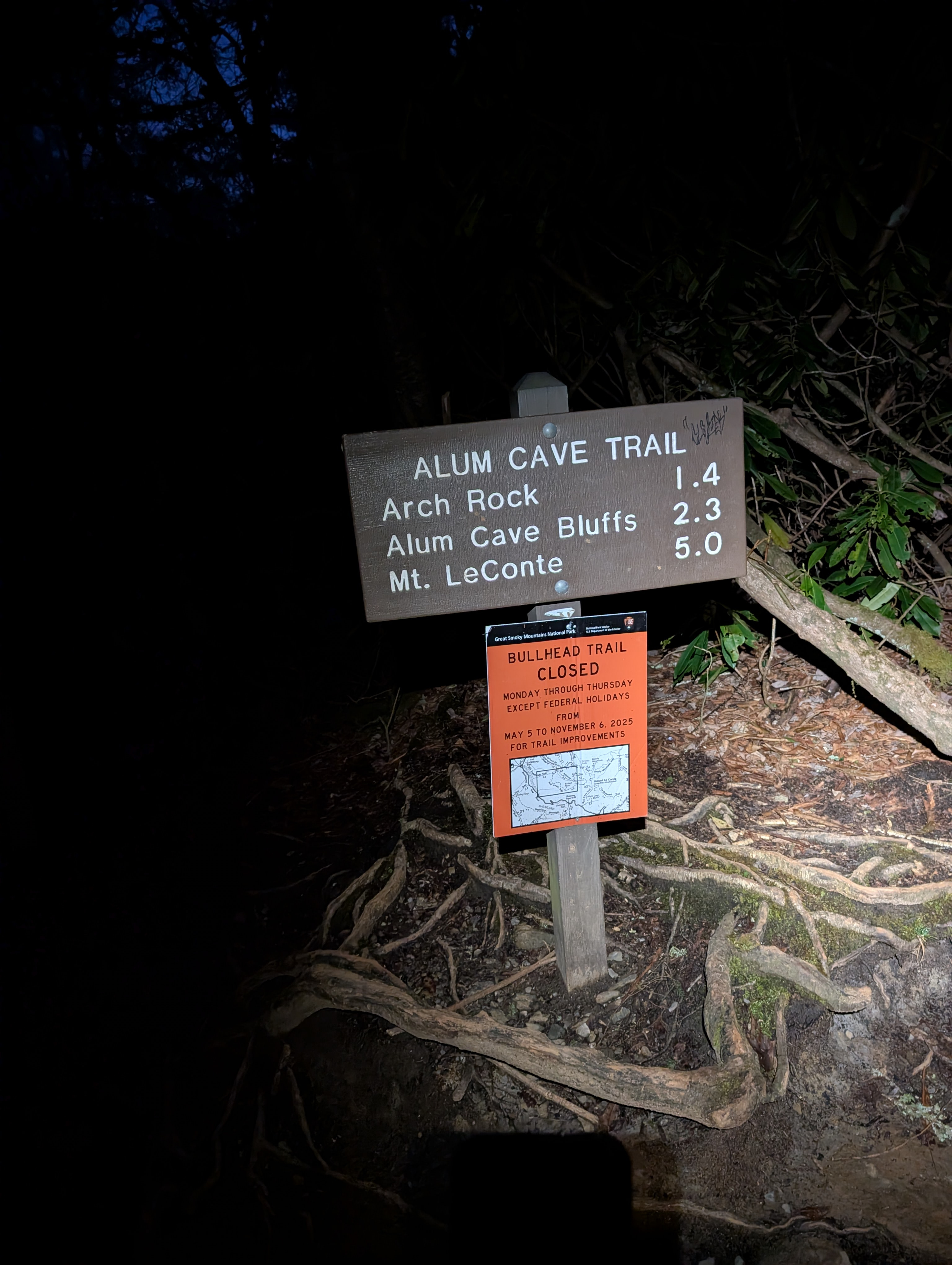
There are multiple routes to the summit, and of those, the Alum Cave Trail route is the most popular. From the trailhead to the summit is a little over 6 miles, with over 3,000’ of elevation gain.
I tend to avoid things that are popular, you might even say I'm countercultural. But I heard there was still ice at the top, and I got ice spikes for Christmas and wanted to use em. And if I could get there early, I could probably have the place to myself for a few minutes.
I set my alarm for 4:30a.m., did some stretching, ran the massage gun up and down my legs, cut my toenails and went to sleep about 10p.m.. Janet woke me up at 2:30a.m. for her favorite nighttime ritual, rolling me on my side so I stop snoring. Only I didn't fall back asleep. I was too excited and laid there in bed looking at weather forecasts and maps until a few minutes before my alarm was supposed to go off- a shuffled playlist of Sturgill Simpson songs. He has a new album out, by the way- you're welcome.
I headed for the mountains, forgot to grab my water bottles out of the fridge, turned around, and headed for the trailhead again, hitting Dunkin for a plain bagel with cream cheese and an iced coffee along the way- everyone knows iced coffee is the peak of coffee greatness. (Take that, Tucker!)
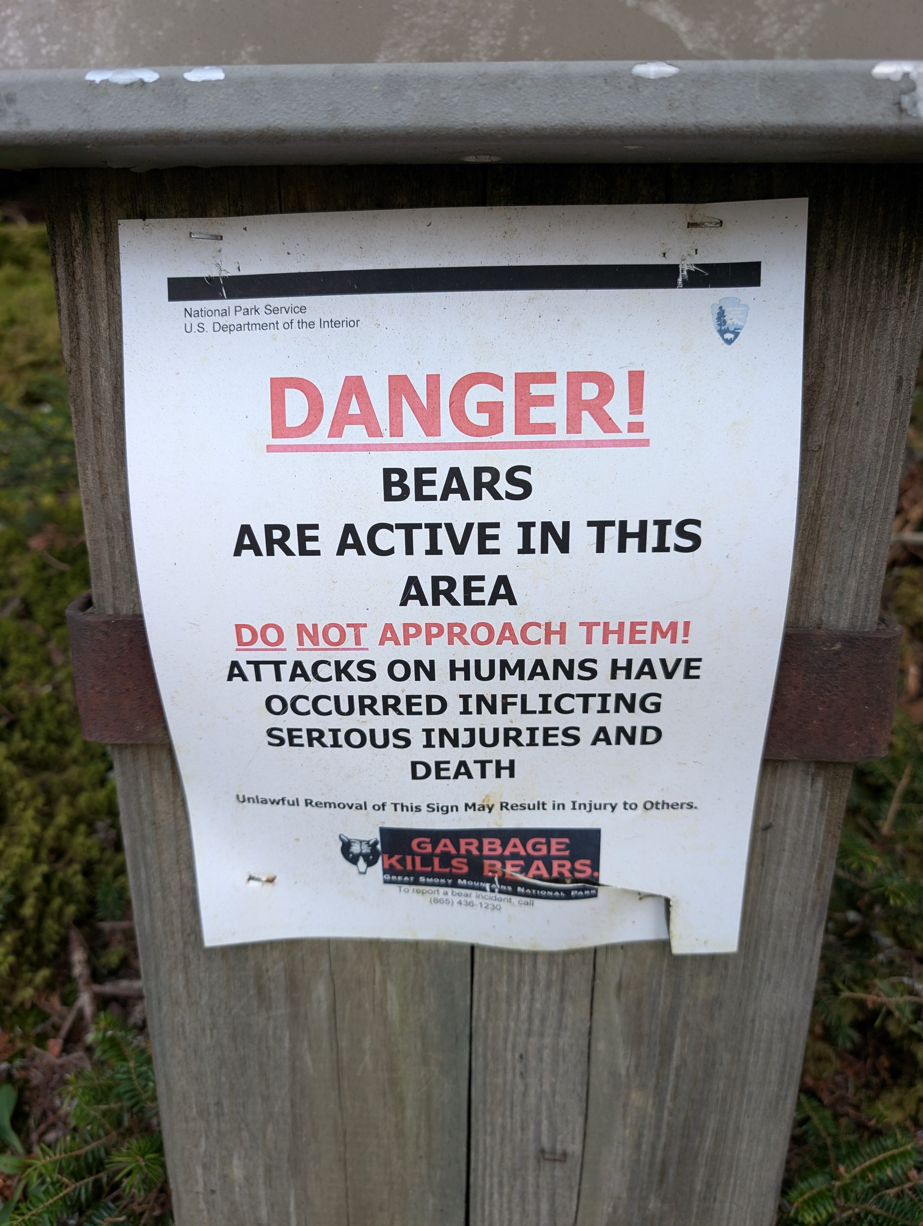
I got to the trailhead at 6, there were only two other cars in the parking lot, and then hiked in the dark along Alum Cave Creek for the first half hour or so until grey light turned to rhodedendrun-green sepia and I could turn my headlamp off. Who knows how many bears I walked past.
I reached the first milestone along the trail about the same time, Arch Rock. This tunnel was formed by water and time, a lot of time. At mile 1.6 I was warming up, shed my hoodie, and was down to gym shorts and a T-shirt. There's something refreshing about hiking nearly naked, even when temps are still in the 30’s and cold mountain thermal winds are standing your leg hairs up in end.
The trail pulled away from the creek and I started to hear faint bird song behind the quickly quietening water. Not long after, a winter wren played an epic solo just for me.
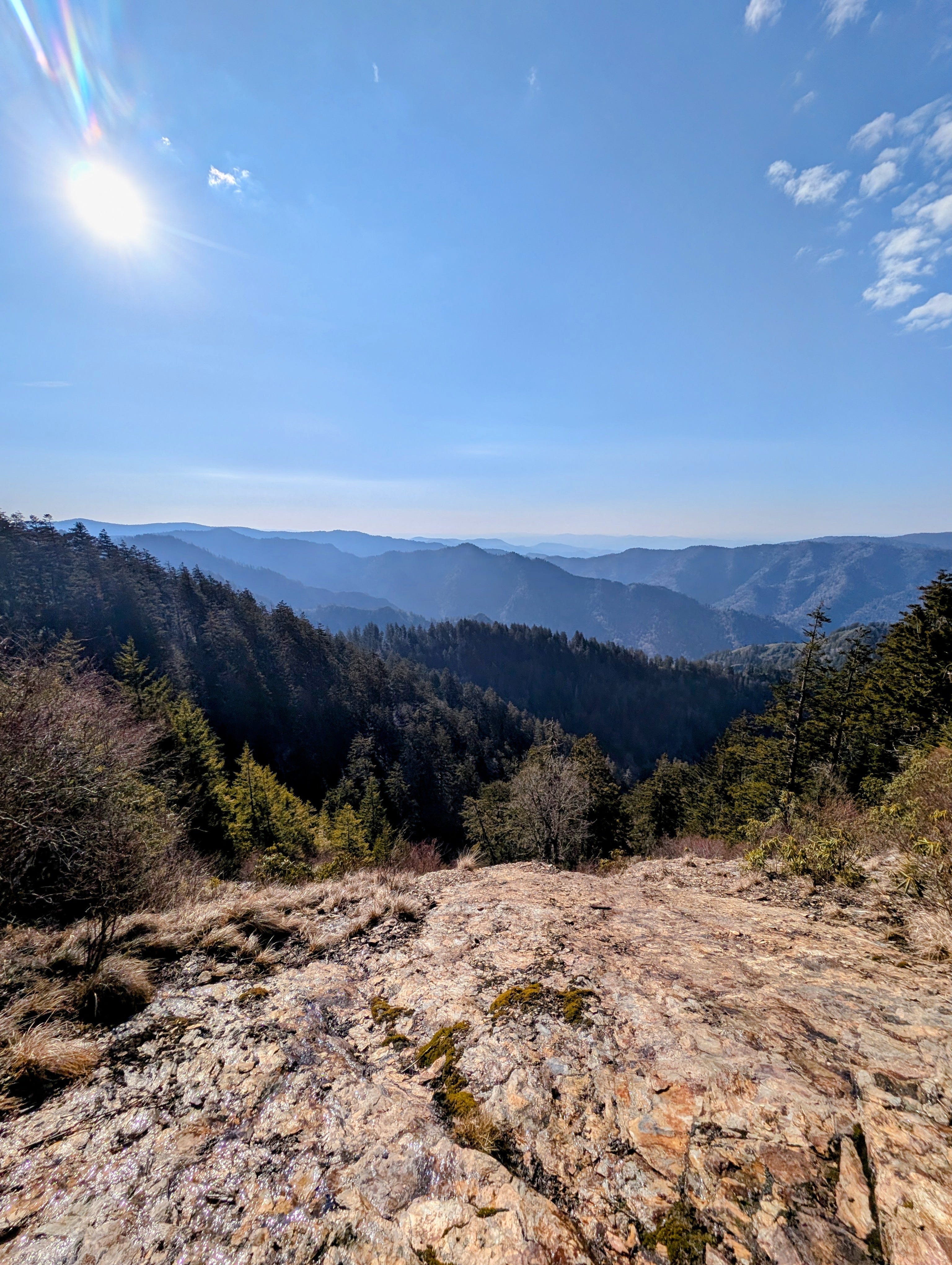
Just before the Alum Cave there is a sharp bend in the trail and an overlook. The sun’s glare was just starting to peek over the mountain and fill the opposite mountains with golden light. Red Crossbills and Pine Sisken overwhelmed the morning chorus, with Dark Eyed Juncos and Eastern Towees filling in the spaces between notes.
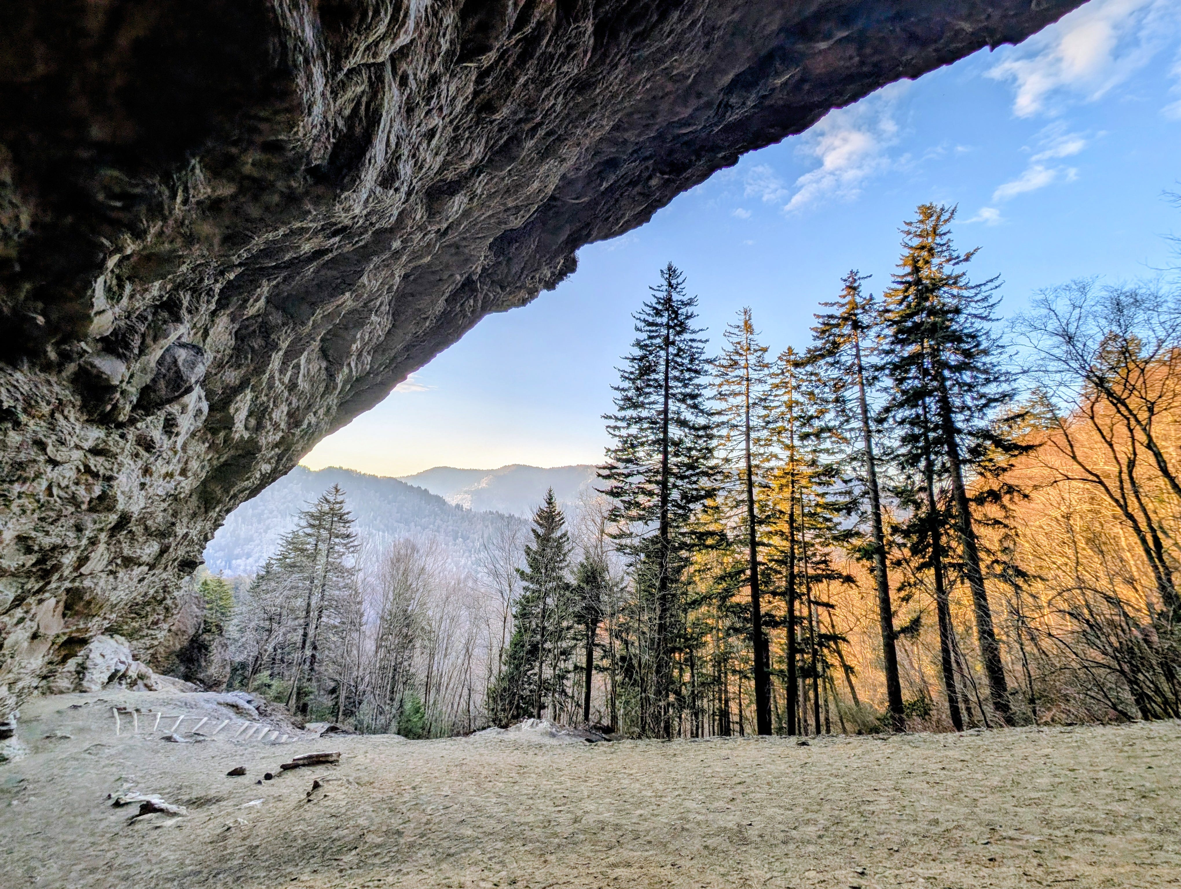
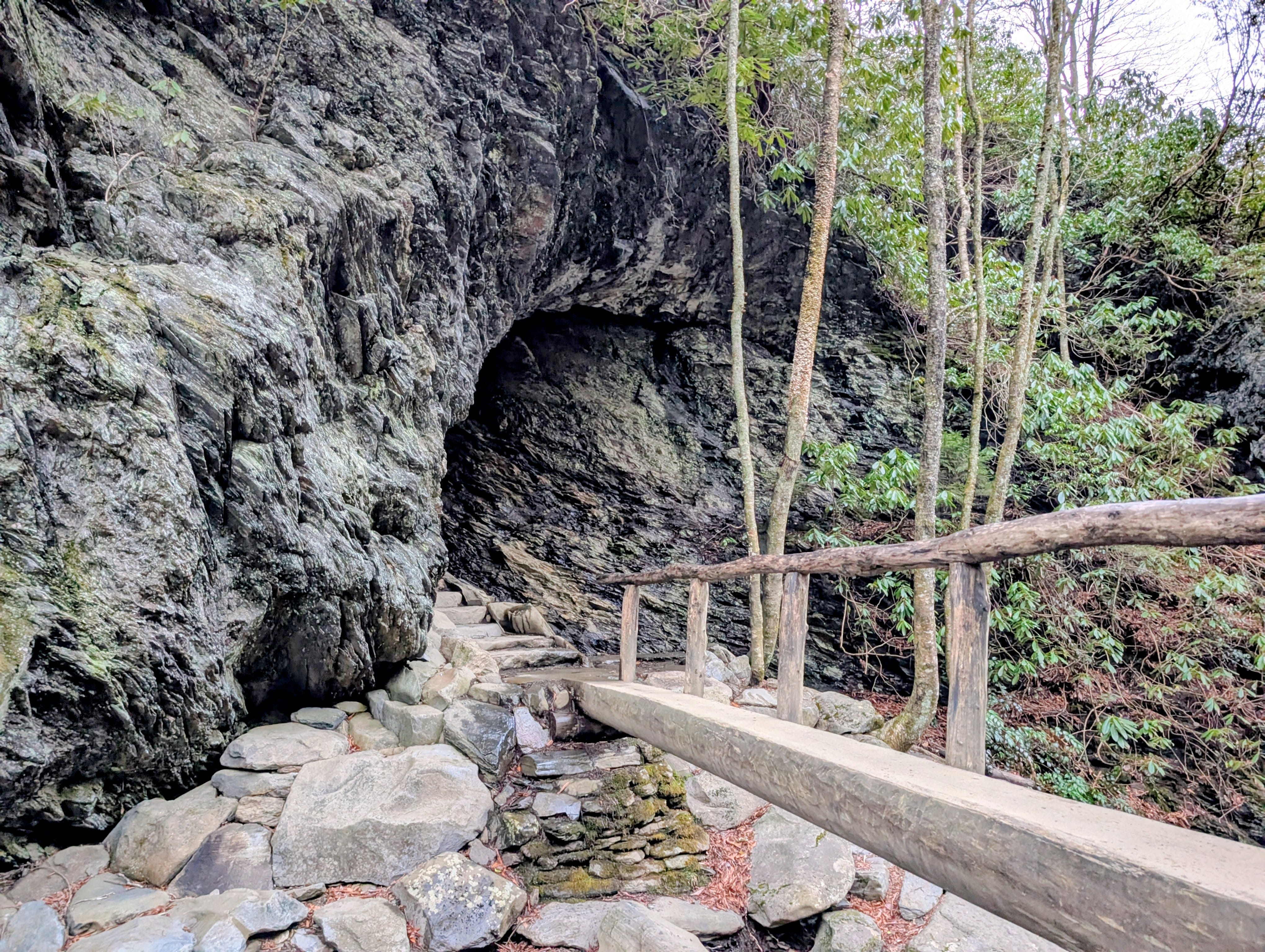
I continued on to Alum Cave and had the place to myself for 20 minutes or so before the first couple groups of hikers came up behind me. It's not really a cave, but a massive overhang, maybe 75-100yds wide. I was eating trail mix, looking straight up at the overhanging cliff when a Peregrine Falcon slung out past the rock and disappeared just as fast behind it.
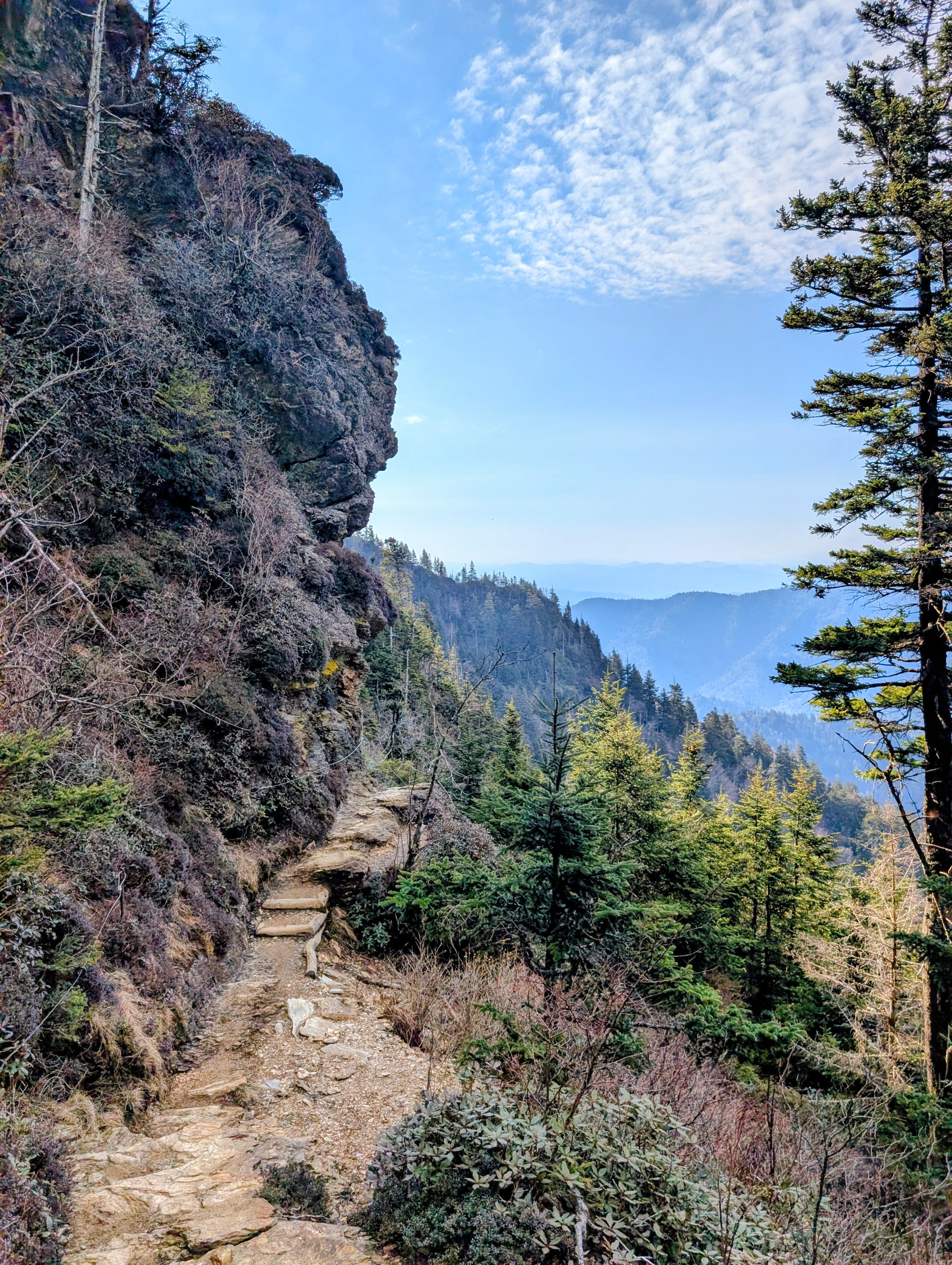
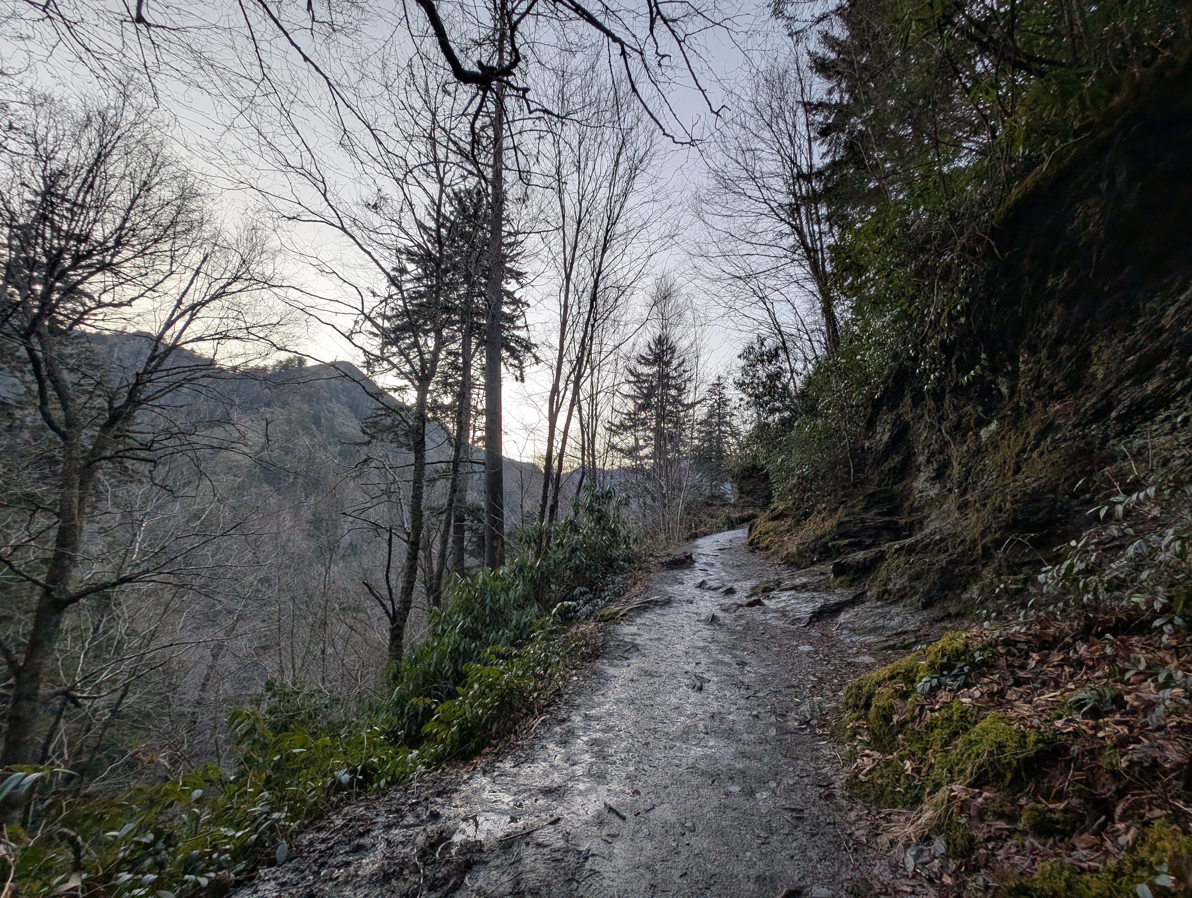
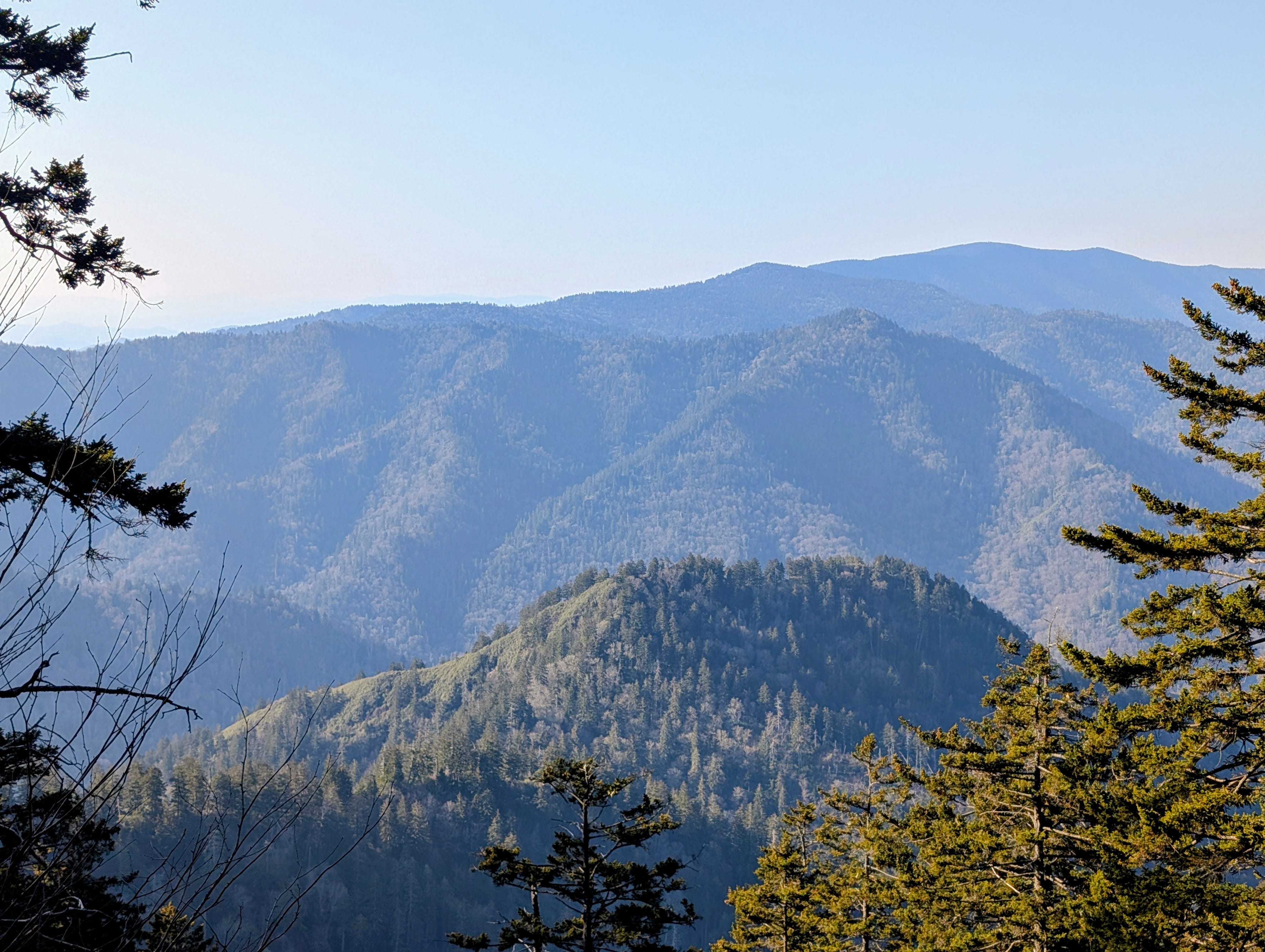
This is part where the hike gets hard. There is a steep climb after Alum Cave, then some relief in the form of a couple short downhills and fairly flat stretches. And then things get more difficult. Fortunately, at least this time of year, there are plenty of peekaboo overlooks between gaps in the tree branches to admire while you take a drink and catch your breath.
It was on one of these pit stops that I saw a Chickadee. We have both Carolina and Black Capped Chickadees in this area and I really don't know how you tell the difference. But, the Merlin app’s song ID knows all. Black Capped’s are rare and I silently hoped one would pop up on the screen after I hit record. Hell yeah.
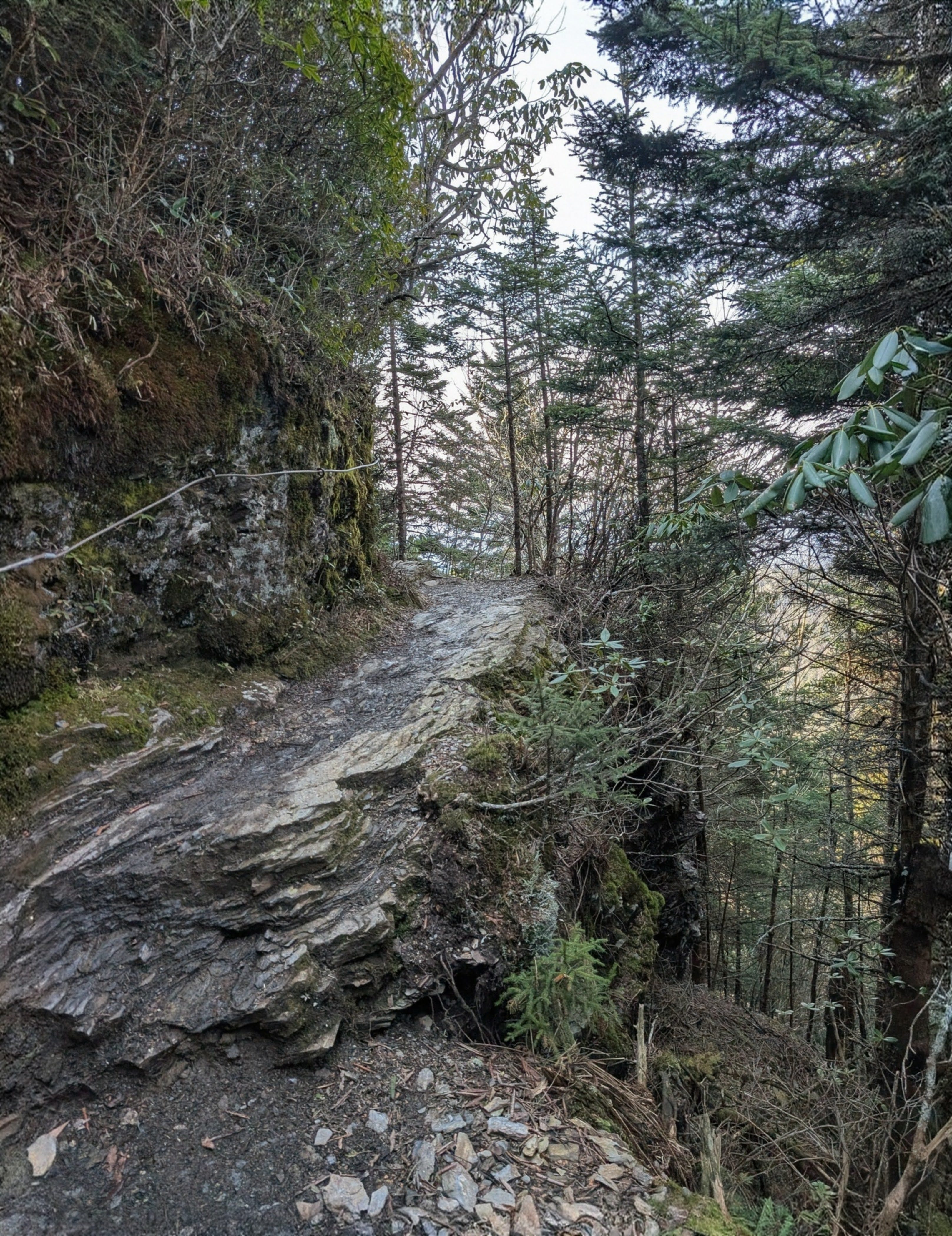
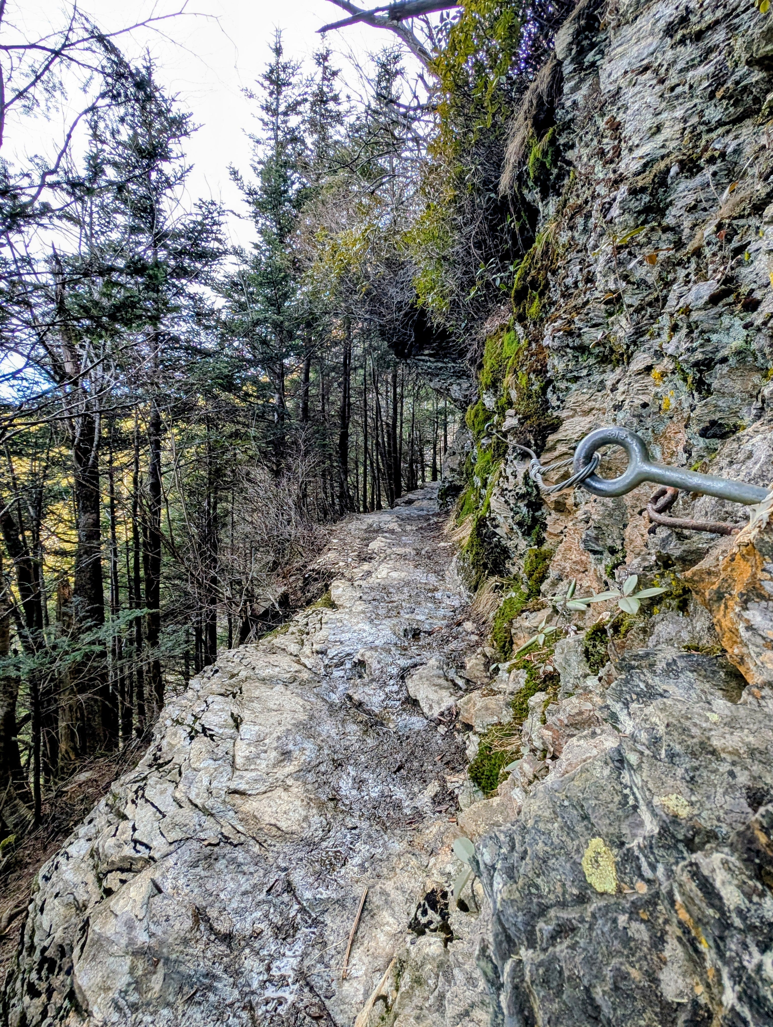
The trail turns sharp to the left and this is where things got strenuous, and beautiful beyond words. Beautiful beyond pictures.
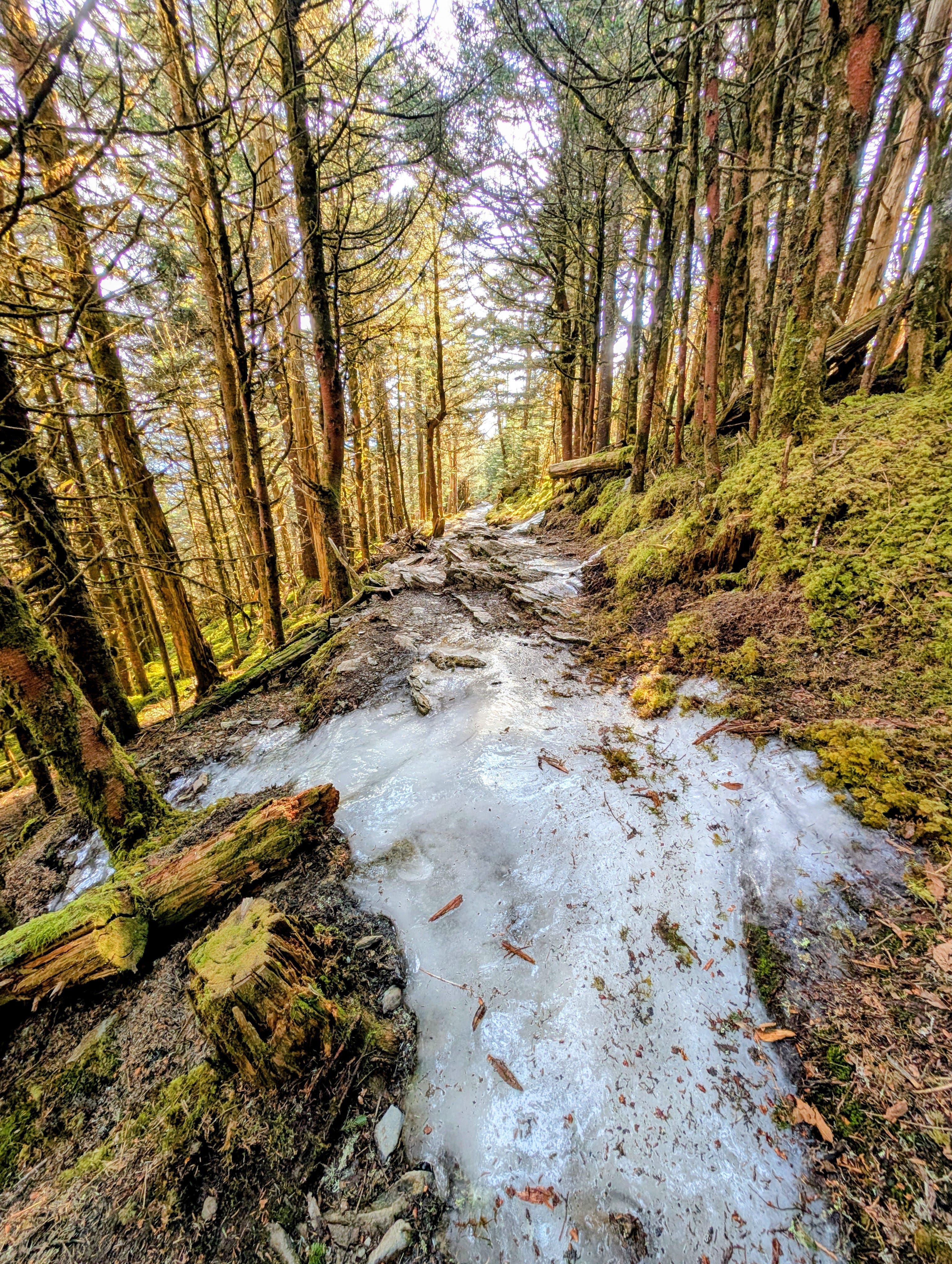
They also got dangerous. Lots of hiking along narrow shelves with a cliff wall to your right, and a sudden drop to your left. Doing this section while it's covered in ice would be a 10/10 on the pucker scale.
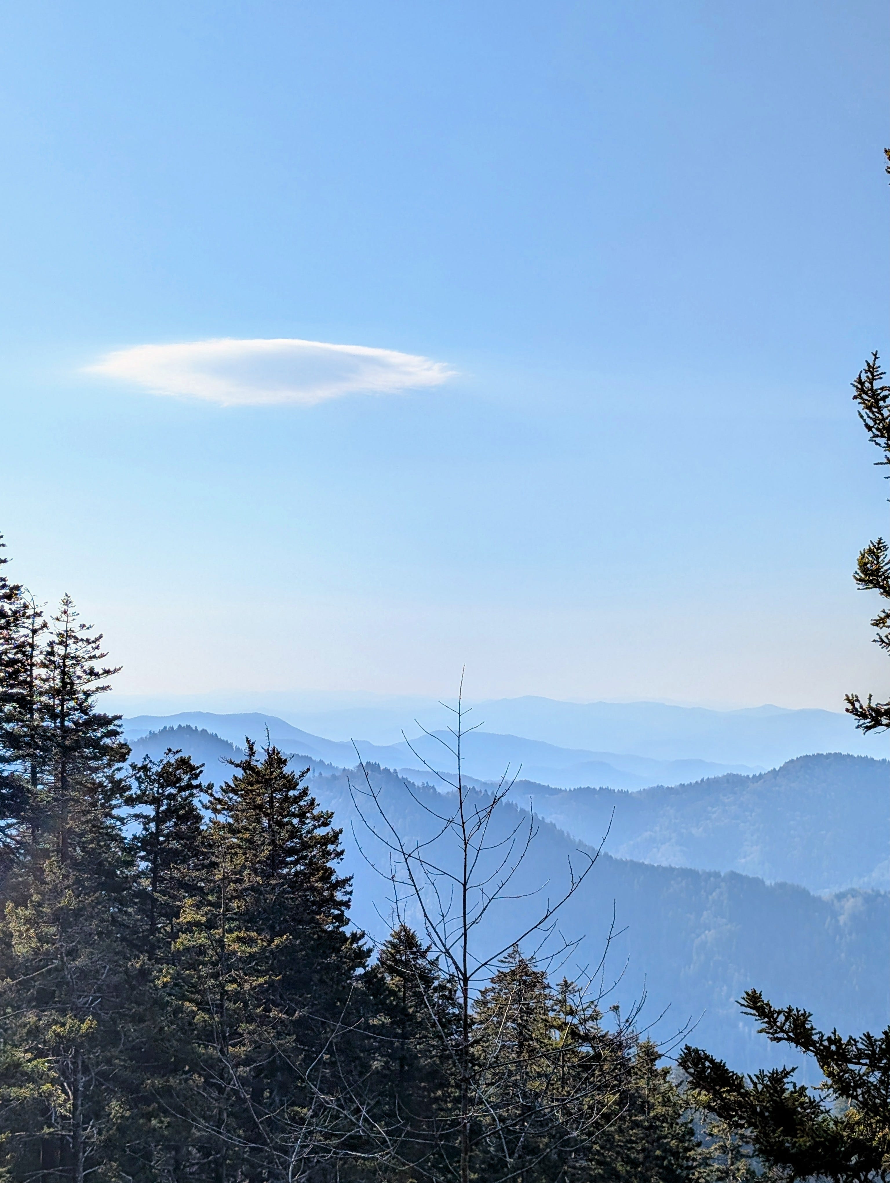
I saw another, or perhaps the same, Peregrine Falcon from one of these cliffs. I grabbed my phone out of my pocket to try and get some video of it, but it disappeared as soon as it realized it was being watched. I sat and waited, hoping it would come back when a UFO-shaped cloud caught my attention. I came to the conclusion that it was definitely a UFO with a cloud-like cloaking device.
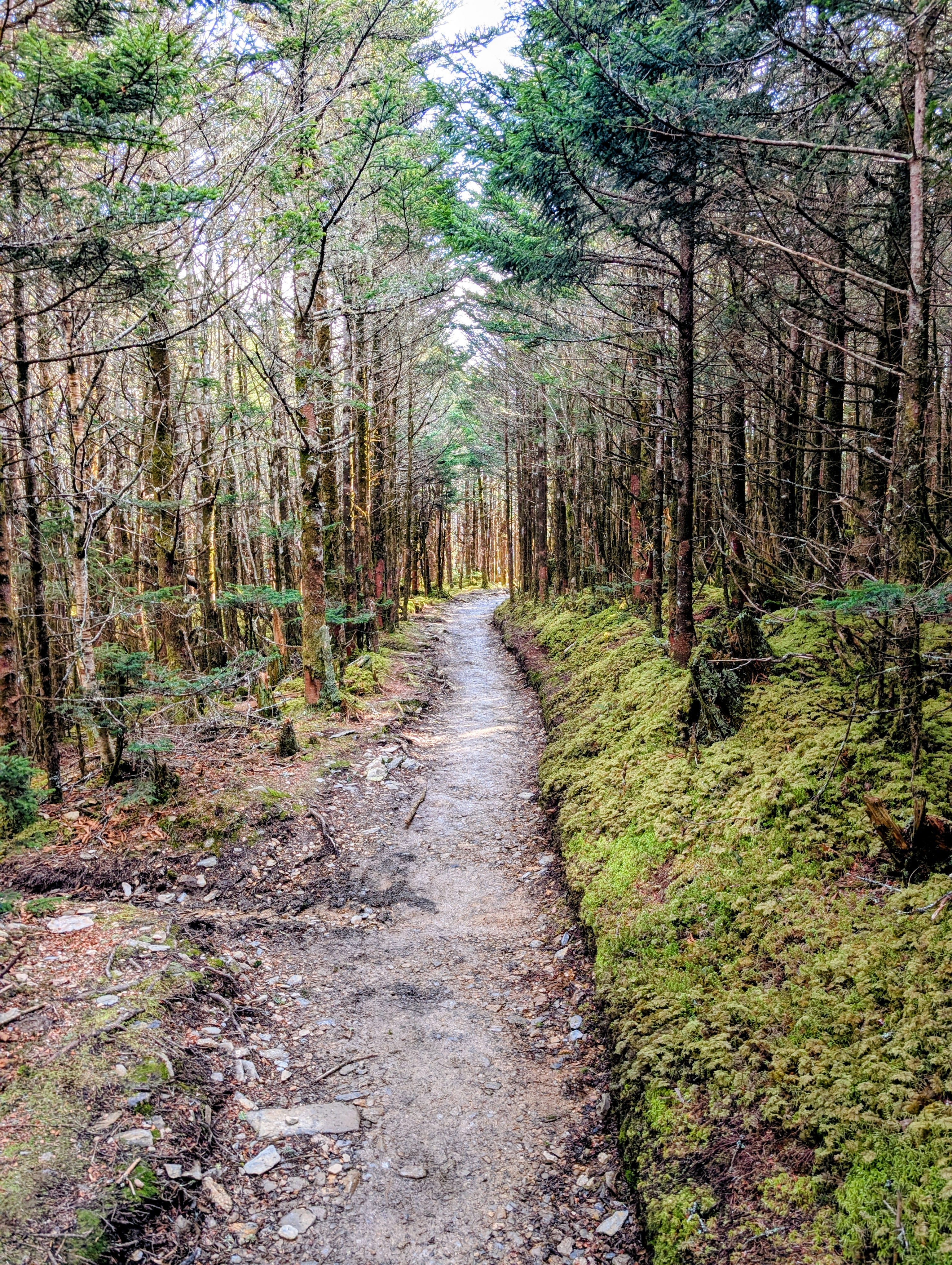
A half mile or so later, you leave the cliffs and turn into a moss covered conifer forest. A couple guys in their early 20s were coming back from towards the top of mountain.
You guys run into any ice up there?
Just a short stretch, you can almost jump over it.
I continued on, sorta disappointed.
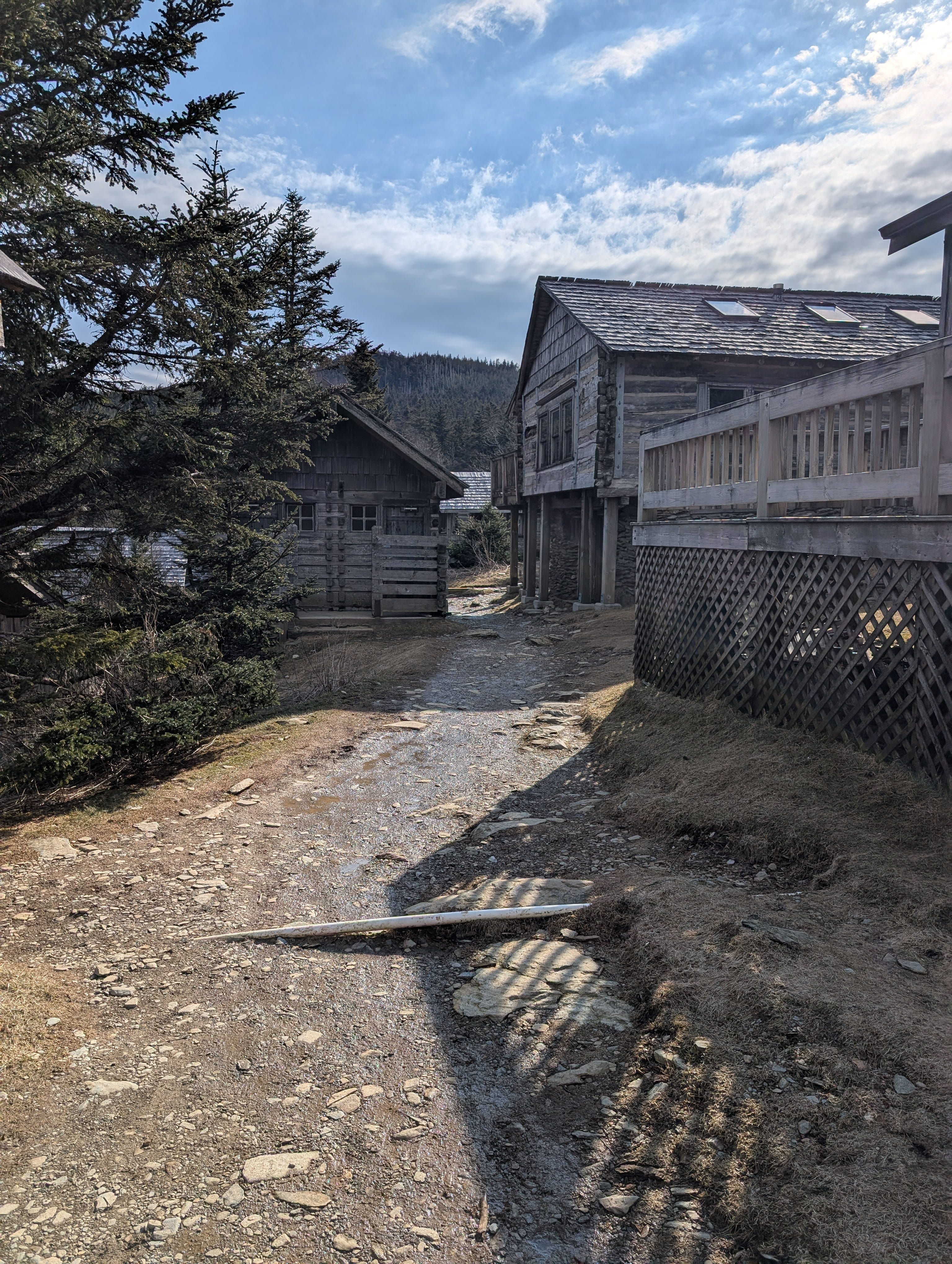
I reached the end of Alum Cave Trail and turned right onto Rainbow Falls Trail towards Leconte Lodge, a seasonal resort that wasn't open, but one I wanted to check out to see if the water source there might be turned on (it wasn't). It's more than a lodge, it's almost a village.
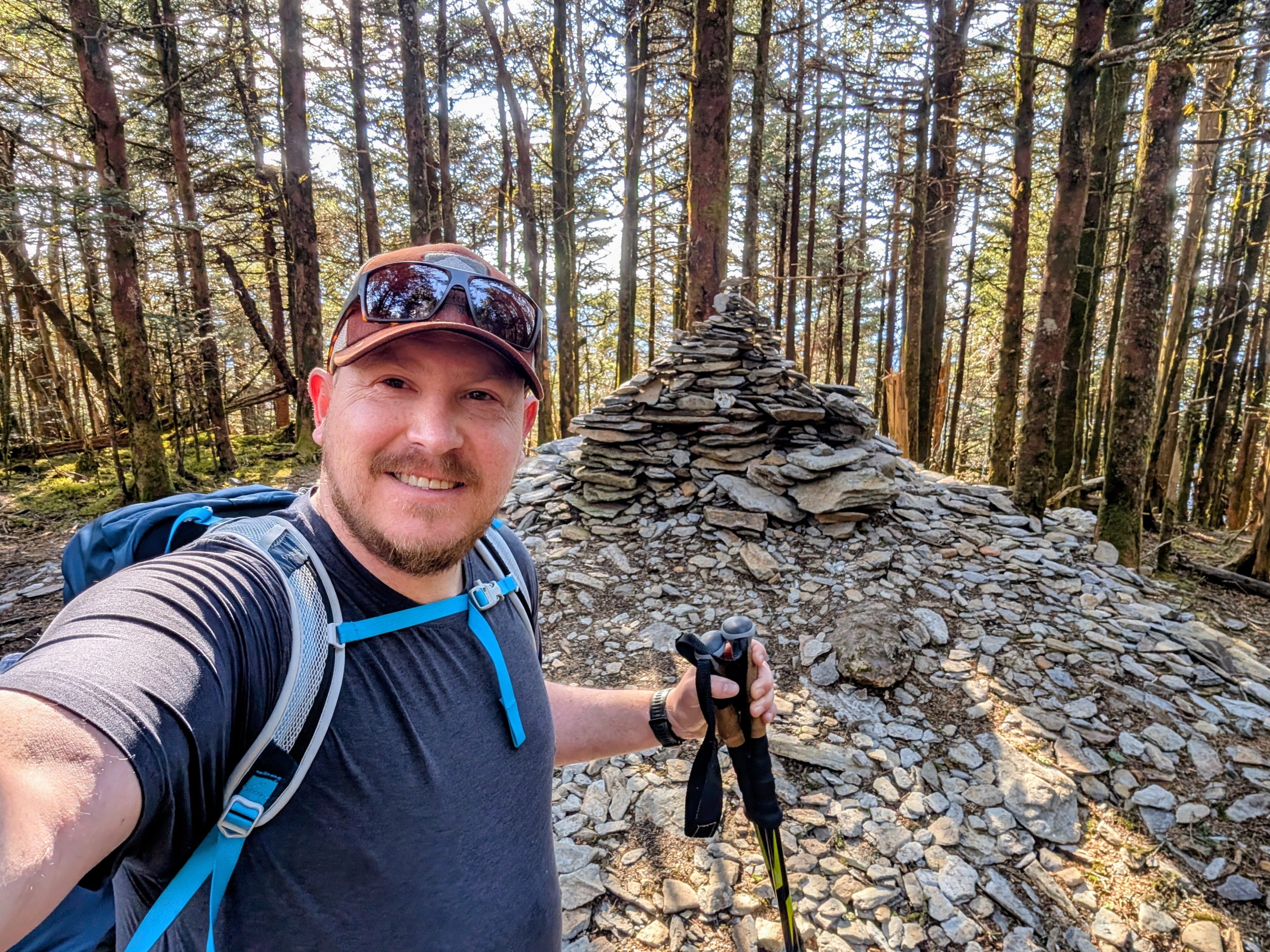
I circled back to the main trail and continued on towards the summit. Just before, the lower part of my quads started cramping up. This slowed me down a little and I later learned it was most likely caused by all that elevation gain and not eating enough of the food in my pack. I stretched and pushed through it, stopping briefly at the High Top for a selfie.
There is a sub-peak called Myrtle Point another 0.7 past the summit so I kept walking, reaching it at 10:20, roughly 4 hours from the trailhead.
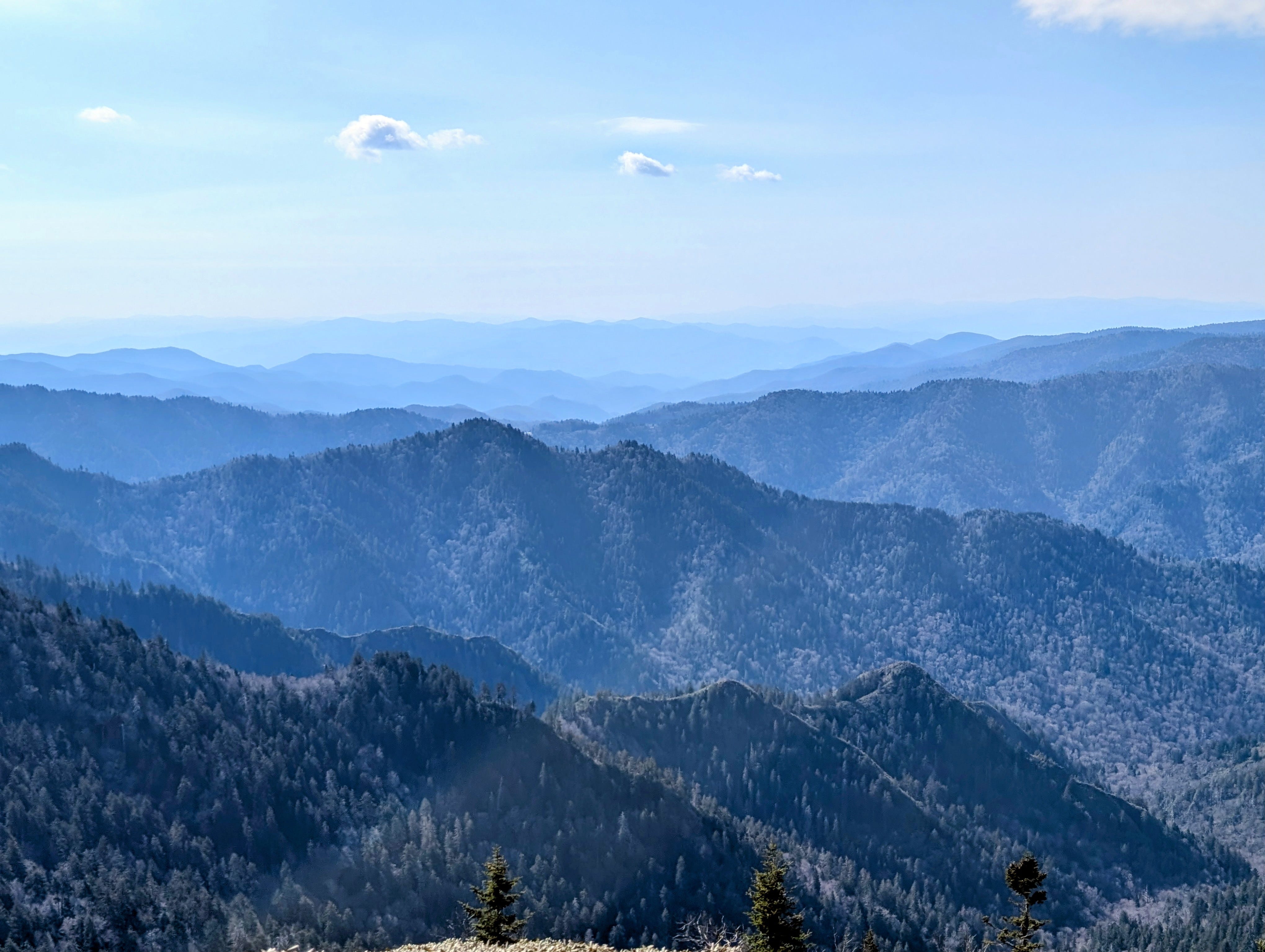
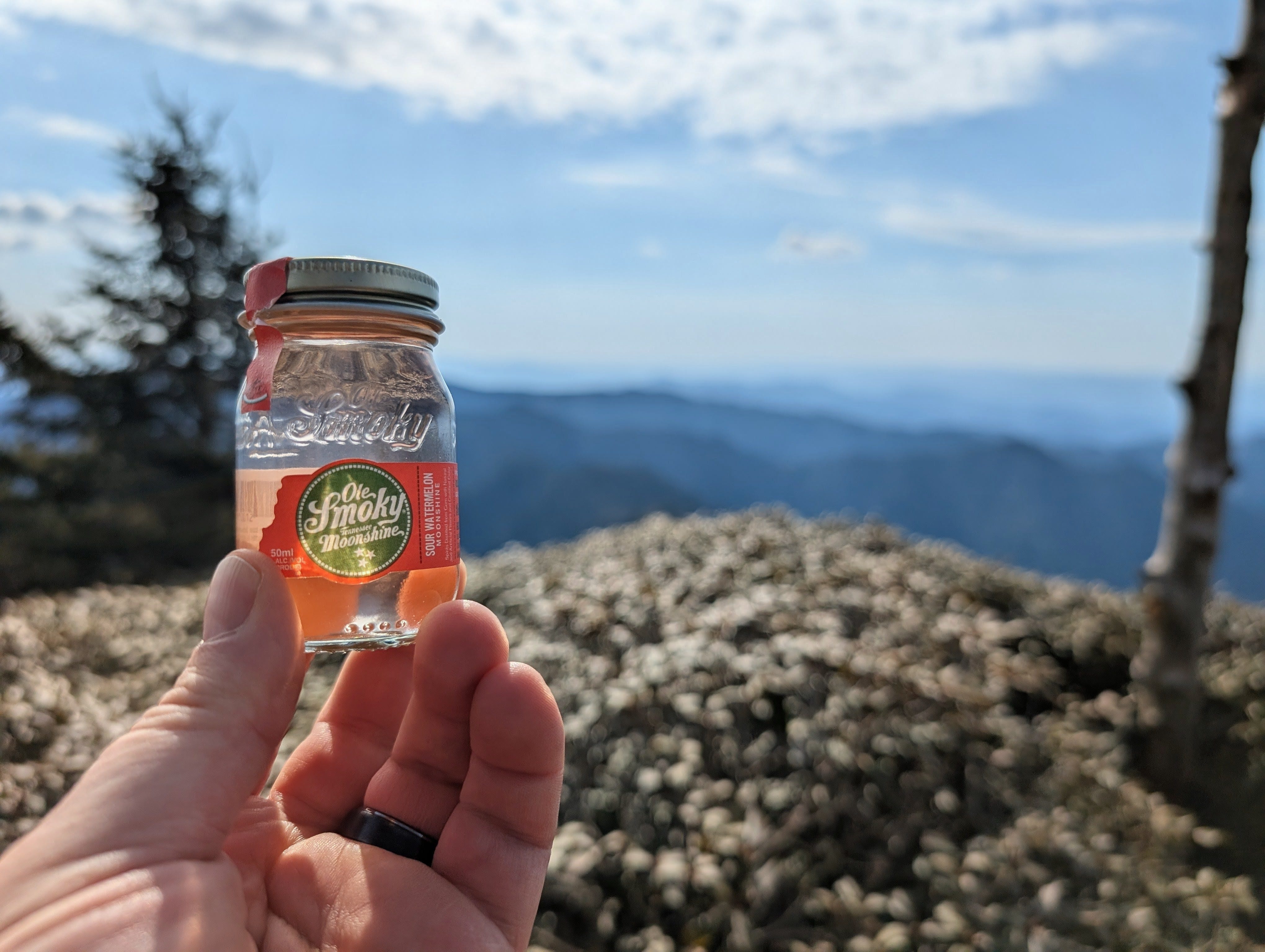
I celebrated with moonshine and snacks, taking in the nearly 360-degree views for almost half an hour before more hikers showed up. And now I get why this hike is so popular.
There are people on the smoky mountain hiking Facebook groups who as far as I can tell, only hike Leconte. There was a guy on there the other day who just did it for the 32nd time. I will be back, but I have a lot of other trails I want to hike, too
I started making my way down the mountain. This is the part where the hike gets easy. I made it back to my car by 2pm and raced home for a shower, the massage gun, and a nap.
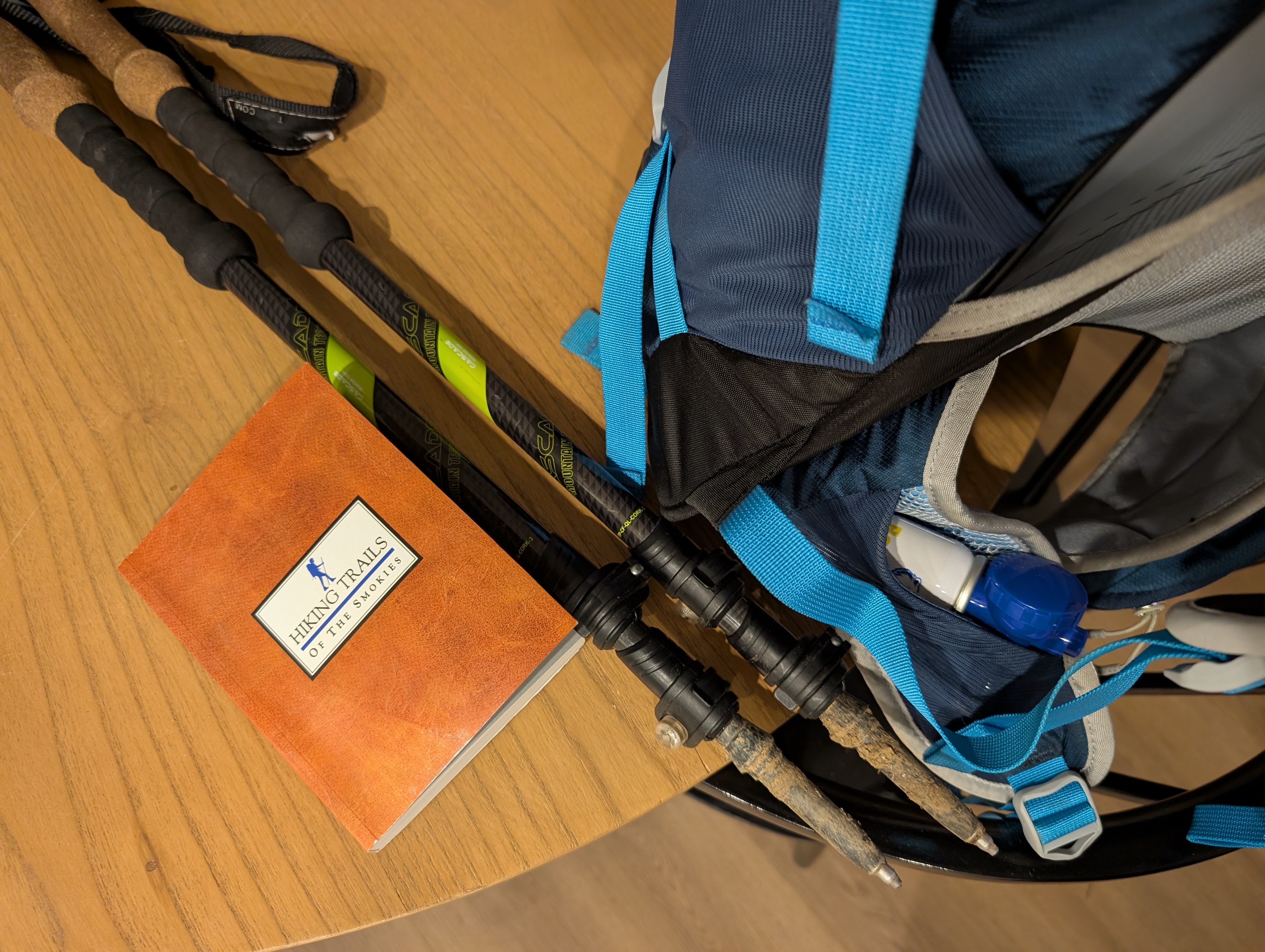
Never embedded a video here, hopefully it works. Some more pics from the hike…
Haha, I try to avoid wearing spikes when I can!
Awesome!